Water, Health, and the Environment: A One Health Approach to Tackling Disease
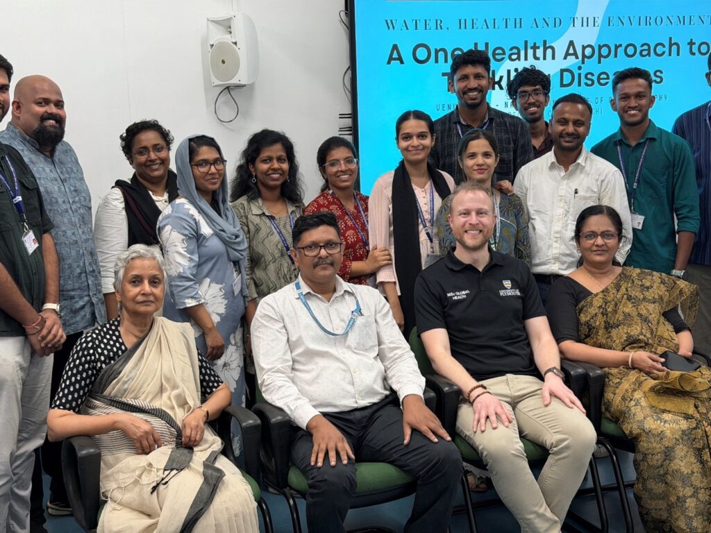
At the start of January 2026, the WADIM project, in collaboration with the University of Plymouth, delivered a series of workshops in Kochi and Chandigarh, India. The workshops focused on “Water, Health, and the Environment: A One Health Approach to
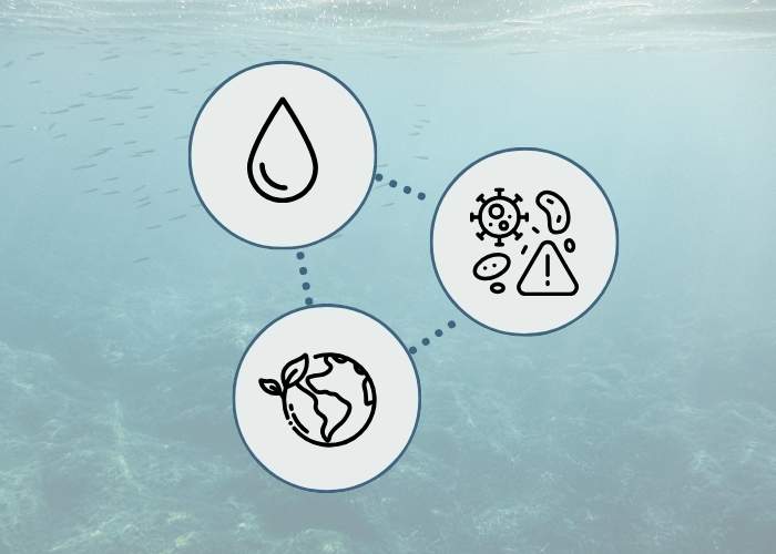
Breaking Down Silos: Why One Health Matters in the Fight Against Waterborne Disease
When we think about disease outbreaks, we often imagine doctors in hospitals or scientists in laboratories. But what if the most effective solutions lie in the spaces between disciplines – where environmental scientists work alongside veterinarians, where public health officials

Leptospira Study featured in Two National Newspapers
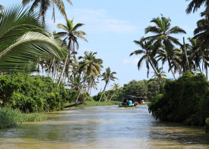
A recent WADIM study identifying Vembanad Lake as a hotspot for leptospirosis has been featured in two national newspapers, including The Hindu. The research highlights how extreme weather events and flooding influence disease outbreaks in Kerala and calls for improved